

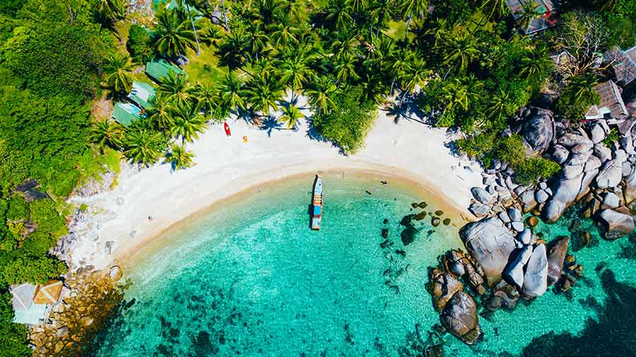
Quick answer
A comprehensive koh tao snorkeling map identifies 15 distinct sites around the island, seven of which offer direct shore access without boat hire. The northwest and east coasts hold the calmest shallow reefs for beginners, while the southern granite boulder fields and offshore pinnacles require boat transport and suit confident swimmers. Visibility peaks between 08:00 and 10:30 before tour groups arrive, and the northeast monsoon season from November through March brings the clearest water.
Koh Tao sits on a submerged granite ridge 45 kilometers offshore, and its coastline drops from beach sand into hard coral garden within 10 meters in most bays. That proximity means you can walk into waist-deep water, put your mask on, and be over staghorn thickets and parrotfish schools in under a minute. The island's reef geography divides into four zones. The northwest coast from Sairee Beach to Hin Wong Bay offers gentle sandy entries and coral heads at two to five meters depth, ideal for first-time snorkelers and families. The east coast, including Tanote Bay and Aow Leuk, features steeper drop-offs with hard coral walls starting at three meters and descending past 15, attracting blacktip reef sharks and larger pelagics. The southern tip around Chalok Baan Kao and Shark Bay blends boulder swim-throughs with soft coral patches, accessible by a short longtail ride. The west and southwest faces expose directly to monsoon swells and remain largely un-snorkelable from May through October. A koh tao snorkeling map guide distinguishes shore-entry sites from boat-only pinnacles such as Chumphon Pinnacle and Southwest Pinnacle, which lie one to three kilometers offshore and require organized transport. Shore sites charge no entrance fee, though a handful of beach clubs at Sai Nuan and Freedom Beach levy 100 to 200 baht for sunbed access. Rental masks and fins cost 100 to 150 baht per day at beachfront shops, and you'll find dedicated snorkel-gear stalls at Sairee, Mae Haad Pier, and Chalok. Current patterns shift with the monsoon. During the dry northeast season the east and south coasts offer glass-flat mornings and 20-meter visibility, while the west coast turns choppy. The southwest monsoon reverses the pattern, making Sairee and the northwest bays the only viable snorkel zones. Always check wind direction on the morning of your swim and choose your bay accordingly.
“Koh Tao's reef sits so close to shore you can walk into waist-deep water and be over staghorn coral in under a minute.”
The Best Time for Your Koh Tao Snorkeling Map Visit
The best arrival window for snorkeling in Koh Tao is 08:00–10:30, which allows you to experience the water before daily boat tours arrive. Planning your visit during this timeframe ensures higher water clarity and quieter conditions at popular bays.
February to April
Low to moderateDry, 28-32°C. Excellent visibility for underwater exploration.
These months offer the calmest sea conditions and warm temperatures.
July to August
ModerateWarm, 28-30°C. Brief rain showers are common.
Generally stable weather suitable for snorkeling despite occasional summer winds.
Weekday mornings
Minimal—
Visiting on weekdays during the early morning window minimizes exposure to island-wide boat tour traffic.
Verdict: The best time for your visit is weekday mornings between 08:00–10:30, ideally during the dry months of February to April.
Entrance Fees and Costs on Your Koh Tao Snorkeling Map
Access to snorkeling bays around Koh Tao is generally free of charge. Some specific beach areas that are privately owned may require an entry fee for access.
Key Locations on a Koh Tao Snorkeling Map
Koh Tao features diverse marine environments, ranging from shallow coral gardens to deeper rocky reefs. Navigating these locations effectively requires an understanding of the specific underwater topography found at each site.
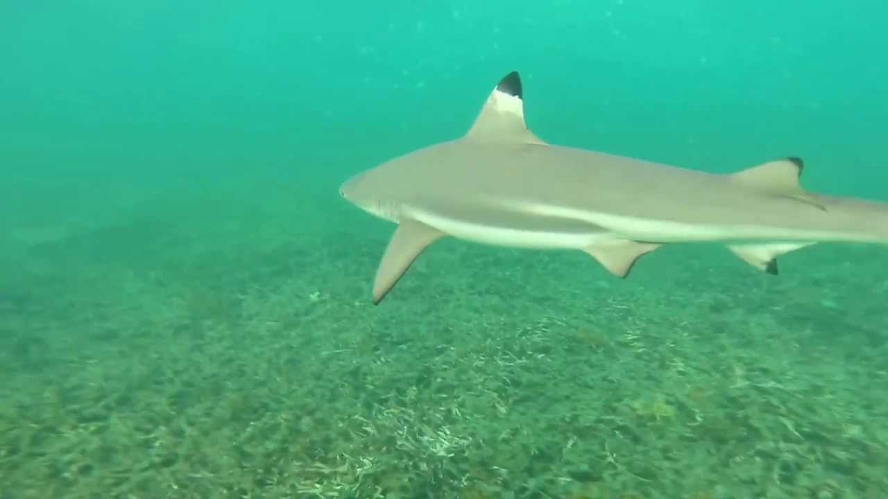
Shark Bay
This bay is characterized by its sandy bottom and proximity to deeper water, often attracting blacktip reef sharks and green sea turtles. Focus on the outer edges of the bay where coral growth is more consistent.
Scan the sandy patches for resting turtles during low tide.
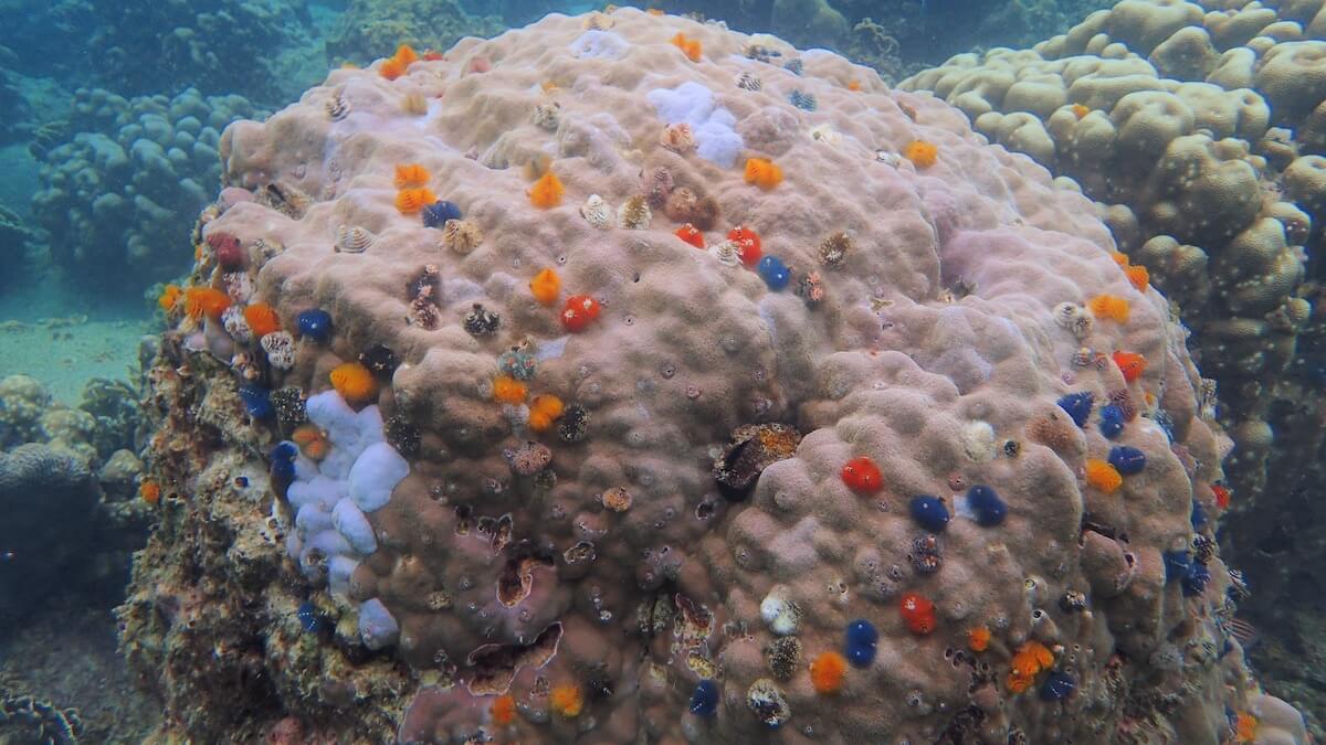
Aow Leuk
Known for its sheltered, shallow waters and sandy entry, this bay features extensive hard coral formations along the flanking rock walls. It provides a calm environment for observing butterflyfish and damselfish.
Stay near the rock formations on the sides for better visibility.
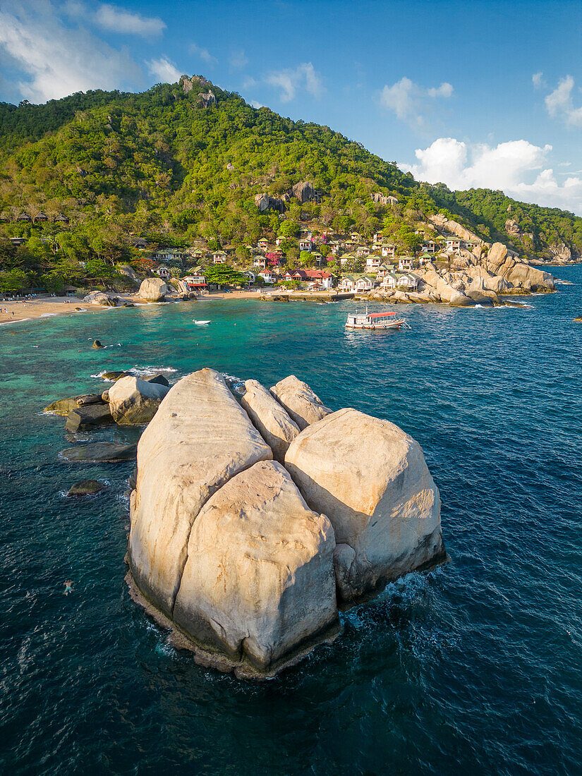
Tanote Bay
This location features large granite boulders that descend into deeper water, creating a rugged underwater landscape covered in sea anemones and soft corals. The depth here allows for a variety of schooling fish.
Swim around the large submerged boulders to see larger fish species.
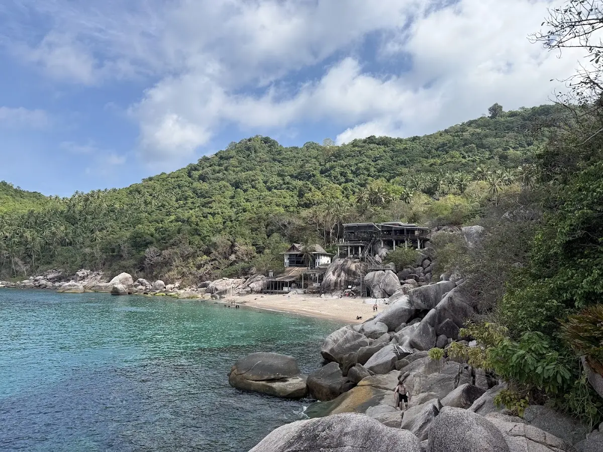
Mango Bay
Located on the north side of the island, this spot is defined by steep rocky slopes and vibrant coral patches reaching from the surface to the seafloor. The depth variation supports a high density of reef fish.
Visit during calm sea conditions to maintain clear visibility.
Preparation Checklist for Your Koh Tao Snorkeling Map
Prepare these essentials before exploring Koh Tao's snorkeling bays to ensure comfort and reef protection.
-
Pack reef-safe sunscreen (non-nano zinc oxide) — Chemical sunscreens damage coral; biodegradable formulas protect both you and the reef.
-
Bring or rent quality fins and mask — Proper-fitting gear improves water confidence and lets you reach deeper bays comfortably.
-
Wear water shoes with grip — Rocky entry points and sharp coral fragments line most bay access trails and shorelines.
-
Carry a dry bag for valuables — Lockers are rare at natural bays; waterproof storage protects phones and cash during swims.
-
Download offline maps before departure — Mobile coverage drops between bays; offline navigation ensures you locate remote snorkeling spots.
-
Arrive between 08:00–10:30 for clarity — Early starts avoid tour-boat crowds and offer the calmest, clearest water conditions.
Check availability
Frequently asked questions about koh tao snorkeling map
Everything you need to know about koh tao snorkeling map